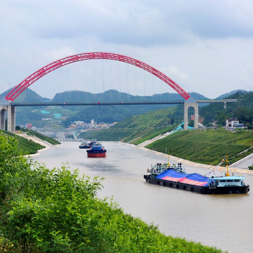
Published : 2026-09-23
For a canal leading to the sea, the biggest shortage before its opening is probably not ships, but water.
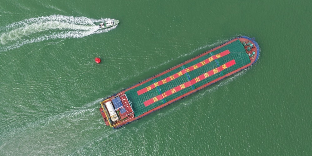
On 16 September 2026, China's Pinglu Canal officially opened to navigation. To make this new waterway truly operational, simply dredging the channel is not enough: Where does the water come from? Where has the excavated earth and rock ended up? And how were the mangroves and fish protected during construction?
Pinglu Canal|Water is "borrowed" and then saved at the locks
The answer begins with how cargo ships "go downstairs".
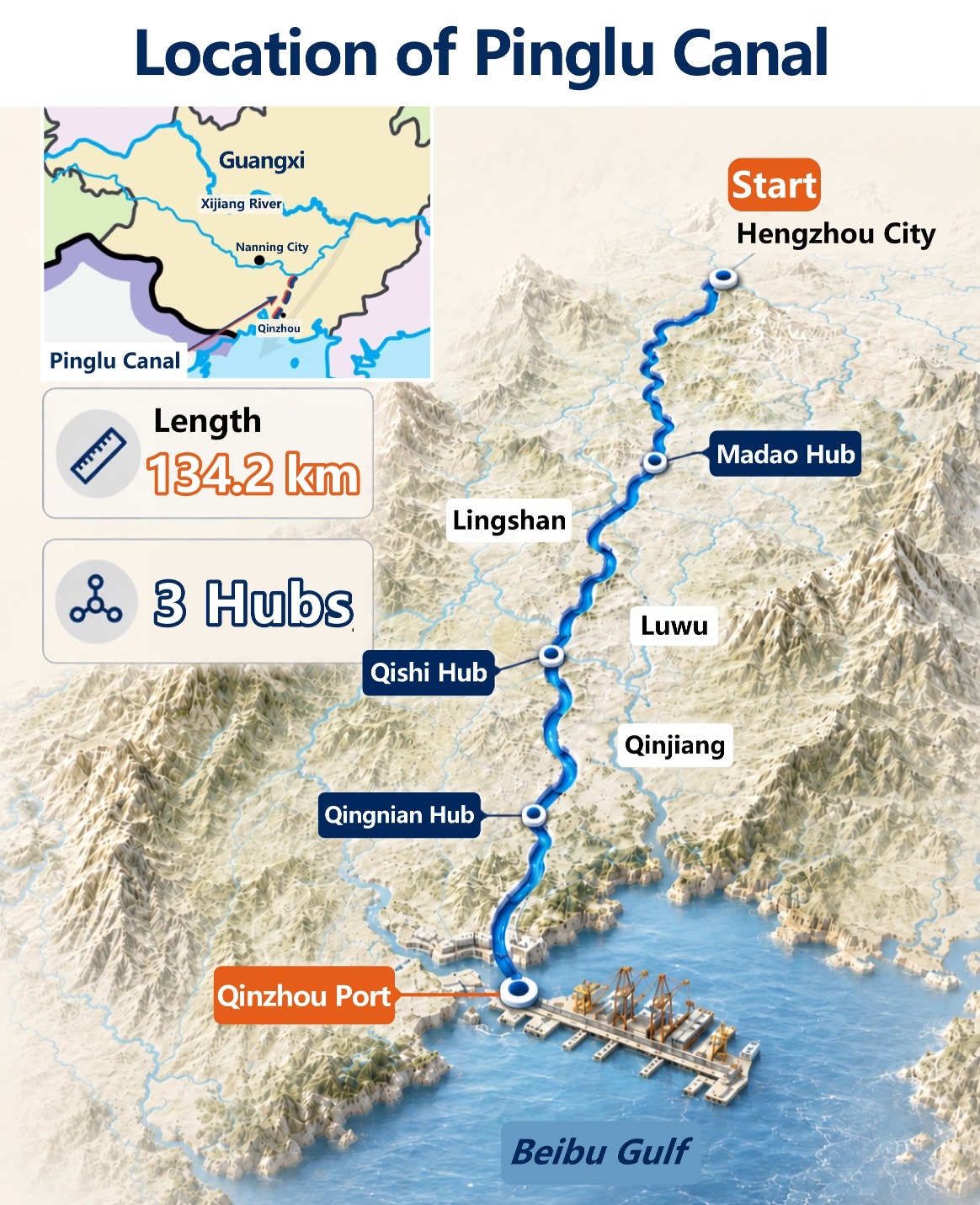
The Pinglu Canal (平陸運河) runs from Pingtang Estuary in Hengzhou (橫州), Nanning City, to the Beibu Gulf (北部灣), with a total length of 134.2 kilometres.
The water level at the starting point of this southward waterway to the sea is about 65 metres higher than at the estuary, equivalent to the height of a 20-storey building, meaning cargo ships cannot simply float downstream all the way.
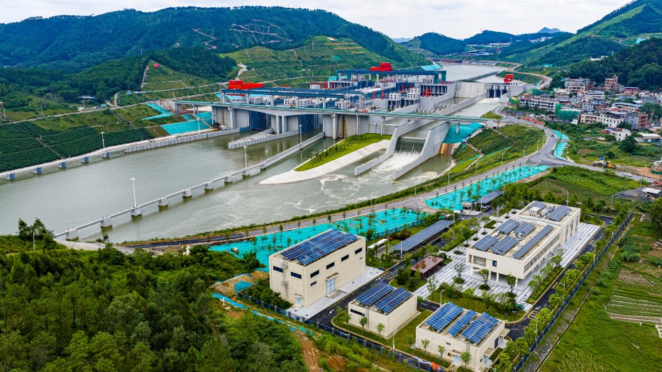
For this reason, three navigation hubs, Madao (馬道), Qishi (企石), and Qingnian (青年), have been built along the Pinglu Canal to handle the 65-metre drop in three stages.
Each hub has a ship lock: After a ship enters, water is released from the lock chamber, and the vessel descends one level with the water; this process is repeated three times to reach the lower-lying Beibu Gulf.
Herein lies the problem: every time a ship needs to "go downstairs", the lock must use a large amount of water to adjust the water level. For the canal to remain navigable, it cannot rely solely on the water already in the channel; it needs a stable supply of water to replenish it.
Before the official opening, the hubs themselves must first be filled with water to begin wet commissioning. The Madao and Qishi sections alone require nearly eight million cubic metres of water for filling, equivalent to more than 3,400 Olympic-sized swimming pools. Where does all this water come from?
There are two main sources of water: one is the natural runoff from the upper reaches of the Jiuzhou River (舊州江); the other is the "Diverting the Yu River to the Qin River" (引鬱入欽) project, which channels water from the Yu River (鬱江), a tributary of the Xi River (西江), into the Qin River (欽江) basin to supplement the canal's water supply.
Water is a precious resource and cannot be discharged after a single use. Therefore, next to the locks at the Madao and Qishi hubs, three-level water-saving basins have been constructed to temporarily store some of the lockage water for reuse by the next ship. This design saves about 60% more water than a conventional lock.
Pinglu Canal丨315 million cubic metres of earth and rock: How to turn waste into treasure?
Now that there is water, how is the excavated earth and rock handled?
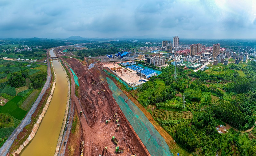
The Pinglu Canal project involves the excavation of 315 million cubic metres of earth and rock. What does this amount to? If all of it were piled on one square kilometre of land, it would be enough to form a mountain about 300 metres high.
This earth and stone was not transported away on a large scale, but was utilised on-site as much as possible: the earth was used to raise and fill land, improve the soil, and create around 927 hectares of fertile fields; the hard stone was made into ship lock revetments and construction materials; and the high-quality clay that was sieved out was used as a raw material for making Qinzhou Nixing pottery (坭興陶).
The comprehensive utilisation rate of the earth and stone exceeded 98%.
Speaking of Nixing pottery, it is one of the four great famous potteries of China, with a history of over 1,300 years, and is traditionally fired using the unique pottery clay from both banks of the Qin River.
On one hand, there is clay dug from the construction site; on the other, there are kiln fires that have continued for a millennium. Over 300 million cubic metres of earth and stone not only ended up as fields but could also be fired into a teacup.
Pinglu Canal|Animals need to cross the river too
With the earth and stone settled, let's now look at the ecology.
A section of the Pinglu Canal that connects to the Beibu Gulf is close to mangrove forests. A mangrove forest is not just a patch of trees on the shore: it acts like a green breakwater, able to stabilise silt and resist wind and waves, and is also a place where fish, crabs, shellfish, and migratory birds inhabit and grow.
The biggest fear for the project is that when clearing reefs and deepening the channel underwater, the fine silt stirred up will drift with the current or tide into the mangrove forests.
To reduce this impact, the construction team uses large self-propelled cutter suction dredgers to cut and suck up silt and crushed stone underwater, which is then sent into enclosed pipelines for further processing.
Silt curtains have also been installed between the construction waters and the mangrove forests. The upper part of the silt curtains floats on the water's surface, while the lower part hangs down into the water, intercepting the fine silt that disperses during construction, further reducing its entry into the waters surrounding the mangrove forests.
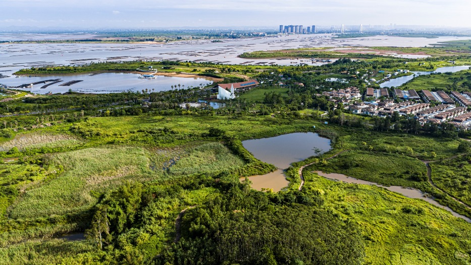
After blocking the silt, a path must also be left for the fish.
The Qin River is home to more than 30 species of fish, such as the red-eyed trout and eels. The water level difference upstream and downstream of the Qingnian Hub is nearly 10 metres. If the water were allowed to fall directly, the flow would be too fast, making it difficult for fish to swim upstream.
Therefore, the engineers built a 480-metre-long "winding mountain road" for them. The fishway meanders, extending the path, and is divided into 120 small pool-like sections, breaking the nearly 10-metre height difference into a series of small steps; if the fish get tired, there are also resting pools where they can stop for a while.
It is not just aquatic creatures that need to cross the river. Land animals do too.
The Pinglu Canal has a dedicated 240-metre-long green bridge, which is not for people or vehicles, with its deck covered in soil and planted with native vegetation, reserving a migration corridor across the canal for animals such as leopard cats, spotted linsangs, and Pallas's squirrels.
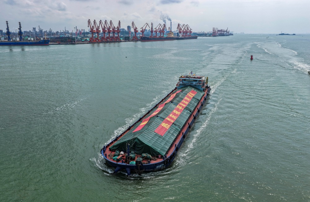
With the Pinglu Canal being opened to navigation, cargo ships in southwest China now has an additional route heading south to the sea.
Spanning 134.2 kilometres, it connects river and sea. Ships will travel further, while water, land, and life find new places alongside this new river.
Read more:
The Pinglu Canal: Why does China's latest "Project of the Century" matter?
2,000km Zhejiang-Jiangxi-Guangdong Canal: GBA's direct access to Yangtze River Delta
Yangtze River, Yellow River, Pearl River.....How many of China's great rivers can you name?